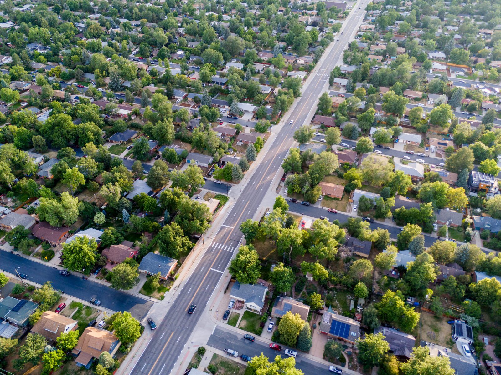
 Photo by Peiyuan Li. An aerial view of the tree canopies over residential homes in a typical urban neighborhood.
A new study from Discovery Partners Institute, part of the University of Illinois System, provides an unprecedented, high-resolution look at Chicago’s urban landscape from a vantage point few have considered before: above the canopy.
“Detailed Height mapping of Trees And Buildings (HiTAB) in Chicago and its implications to urban climate studies” is poised to change the way urban planners, environmental researchers, and policymakers view the cityscape of Chicago. It can also serve as a cornerstone for the future of climate resilience and sustainable urban development globally.
Led by Senior Research Associate Peiyuan Li and Climate and Sustainability Lead Faculty Ashish Sharma, the research is part of Community Research on Climate and Urban Science (CROCUS), an Urban Integrated Field Laboratory established by Argonne National Laboratory and supported by the U.S. Department of Energy.
The study deploys a combination of land-use data, the Light Detection and Ranging (LiDAR) dataset, and other sources to create a detailed block-by-block visualization of the city’s buildings and green spaces. Published in the journal Environmental Research Letters, this research marks the first time such a detailed co-investigation of buildings and tree heights has been made publicly available over an urban landscape.
Why it matters
According to Li, the study’s lead author and a senior research associate at DPI, “The HiTAB dataset not only catalogues trees and green spaces across Chicago but also opens the door for a multitude of applications—from urban weather and climate simulations, carbon stock accounting for ‘Net Zero’, to more accurate rooftop solar energy production. It offers a foundational database for understanding and optimizing the interplay between urban infrastructure and natural elements.”
Notable findings
- In two-thirds of Chicago’s land area, trees are taller than buildings.
- In 24 percent of these areas, trees reach more than twice the height of buildings, providing effective over-roof shading and potentially sheltering residential homes from the summer heat.
- Residential buildings dominate the city’s landscape, predominantly categorized into three height groups, matching typical one-story single-family homes, two- and three-story homes, and multistory apartment buildings.
- Overall, the Chicago region has 16.7 percent tree canopy coverage. While some densely vegetated neighborhoods reach 50 percent coverage, most areas have less than 5 percent coverage. Chatham and Washington Heights both have about 8.5 percent coverage. Less tree coverage correlates to a variety of negative outcomes, including lower air quality and higher temperatures.
Beyond the numbers
HiTAB’s greater significance lies in its potential application in climate modeling and environmental planning, said Sharma, Climate and Sustainability Lead at DPI and a climate scientist at Argonne and CROCUS modeling lead. “As urban areas around the globe grapple with the effects of climate change, tools like HiTAB offer invaluable insights into how cities can be designed and modified to mitigate these impacts,” he said.
By understanding the vertical dimension of urban environments—how tall trees are compared to buildings, for instance—planners and researchers can better assess and plan for factors like air quality, noise levels, and microclimates. For Chicago, this might mean identifying areas where more trees should be planted, including in privately owned spaces.
Expanding the model
Li and Sharma look to expand their study beyond the city of Chicago proper to encompass the Chicago metropolitan area. Furthermore, the implications of their work suggest a replicable model that could benefit cities worldwide.
“Any map can show you the difference between a park and a building, said Rao Kotamarthi, deputy project director of CROCUS. “Understanding the verticality of our urban environment—the canopy heights, building elevations, and even the placement of infrastructure like cell phone towers—can redefine our approach to urban planning and sustainability.”
The next generation of climate researchers
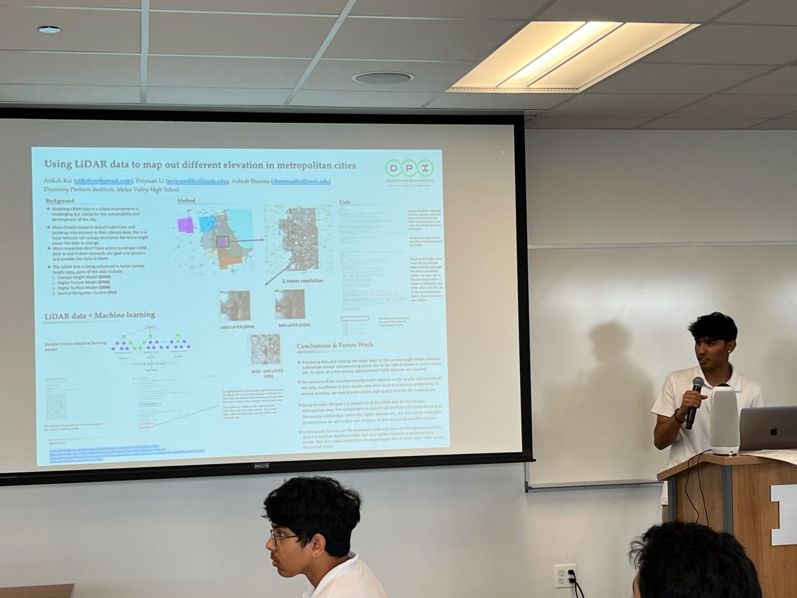
Atiksh Rai, a rising senior at Metea Valley High School in Aurora, Illinois, worked on the project over the summer as part of DPI’s Summer internship Program for Applied Research and Knowledge Sharing (SPARKS). Rai contributed to scale the project beyond the city to the Chicago metro area, gaining valuable experience working with large datasets. He will help present the findings at the American Meteorological Society’s annual meeting in January 2025.
Read the article in Environmental Research Letters
View the dataset from Zenodo
 Atiksh Rai discusses his work on the HiTAB study expansion at DPI’s research intern presentation.
Author: Jeanie Chung